 |
Petrified Wood Park, Lemmon, SD
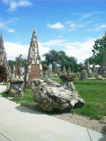
Finally one comes to the Petrified Wood Park in Lemmon, SD. What can one
say? Here were collected tons of stones from the surrounding
landscape as though the city's boosters had hoped to corner the
market. Here the rubble was glued to the outside surfaces of a
whole city block-full of cement obelisks, a museum, and a gas
station in a technique which might as well be named paleontological
appliqué.
|
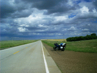 |
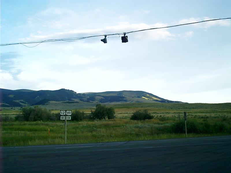
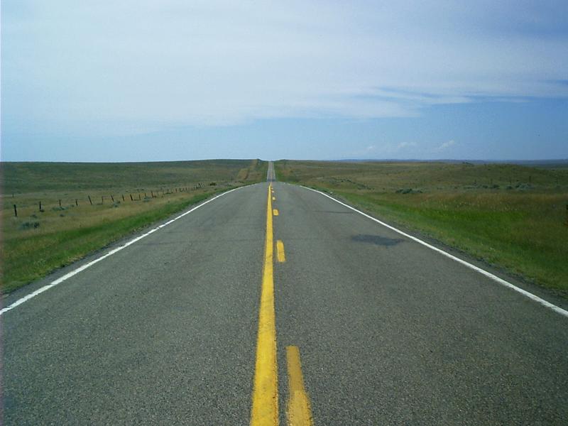
US 12 in South Dakota
Here it is -- the nub, the nut, the moral of the story I've
been telling: The more things change -- the more they
stay the same.
One sees a lot of motorhomes the size of Greyhound buses coming
down the road, but one notices a lot more sitting in campgrounds.
With fuel tanks in excess of 100 gallons and ranges approaching a
thousand miles, these behemoths, like the old-time passenger
trains, are built to travel the long haul. In the heyday of
railroads, the idle (rich or not) lavished weeks on their tour of
Glacier Park by horseback. It's not so different for an RV owner to
round up partners, cart them all off to one well known, scenic
destination, and spend a large portion of the season there.
That's not the way it is with automobile touring! You need food,
fuel, and a place to sleep because you can't take it with you like
a railroad -- like a motorhome rolling down the interstate. It's
more like piloting a steamboat up a river. You have to tie up every
once in while to chop firewood, to duck windy weather, and to wait
out the dark. You're a lot more dependent on the path you have to
take.
Roadside attractions are the tinkling echoes of times gone by. The
modern traveler doesn't apprehend the need. His trip is only about
where he's bound. It's not about the territory he hurries through.
Still, those of us journeying more lightly on the land can stop to see
something before the emptiness swallows it.
|
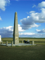 |
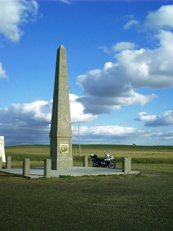
Monument: Sacagawea Memorial, Mobridge, SD
Sacagawea (Sacajawea, Sakakawea), the Shoshone interpreter of
the Lewis and Clark Expedition, is presumed to have been buried at
Fort Manuel, which is now mostly inundated by Lake Oahe. This is
her memorial.
|
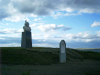 |
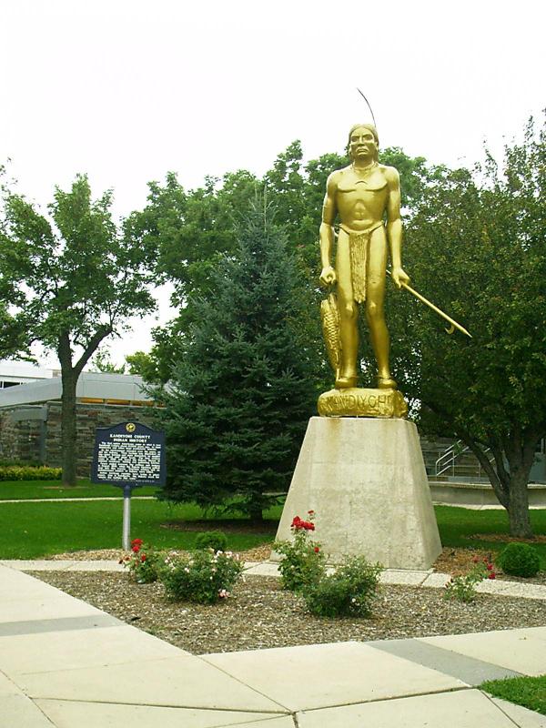
Monument: Sitting Bull's Grave, Mobridge, SD
At the same site as the Sacagawea Memorial on a bluff
overlooking the Oahe Reservoir on the Missouri River at Mobridge,
SD, is the final resting place of Sitting Bull. He was not buried
here
initially. The bust is by the late American sculptor Korczak
Ziolkowski who is best known for his design and early work on the
Crazy Horse Memorial near Custer, SD. The portrait on the nearby marker
is unattributed.
|