|
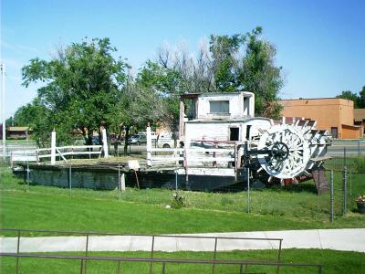
Poplar Pride Ferry, Poplar, MT
The Poplar Pride Ferry made its maiden voyage across the
Missouri River in 1949. Some say it was preceded by a cable ferry
that started in the late 1920 or early 1930. It ran from April to
November unless an early freeze up put it into dry dock.
It was established primarily to transport agricultural products
from McCone and Richland Counties to the Great Northern Rail Line.
To the cattlemen during calving time -- with a north storm
threatening -- it meant the difference between livelihood and
disaster -- and to the people who were sick it meant life and
hope!
Before the present Missouri River bridge was opened in 1969, Poplar
Pride averaged 276 crossings each month. It was pulled from the
river in 1969 and was transported to its present site.
Poplar Pride -- It served us well! |
 |
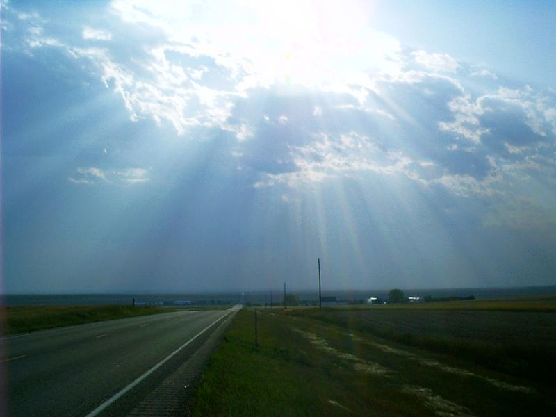
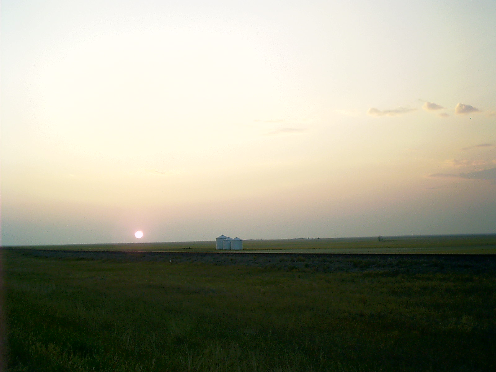
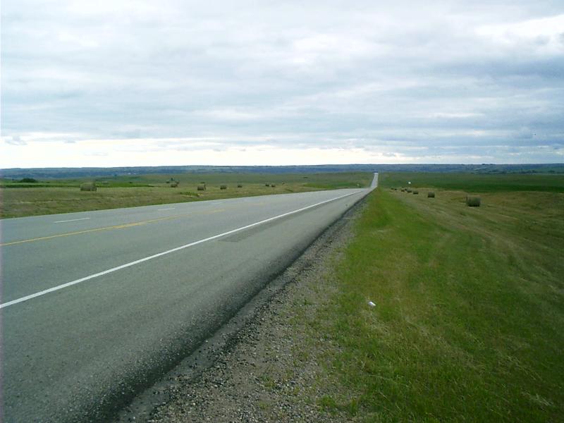
US 2 West of Glasgow, MT
There is a big sky in Montana.
|
 |
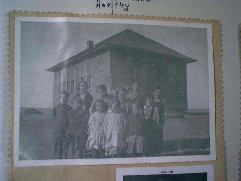
One-Room School House, Saco, MT
This is a test: If you don't recognize the news anchorman,
pictured below, who went to school here, you're younger than I. If
you do, you're not.
|
|
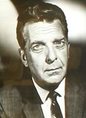
Chester "Chet" Robert Huntley (1911 -
1974)
was one of the most recognized and respected news reporters ever to
appear on radio or television. Raised on a sheep ranch near Saco,
Montana, Huntley applied frontier values to his 37-year
broadcasting career. After two decades reporting for network West
Coast outlets, Huntley was assigned by NBC to the 1956 political
conventions where he began a 14-year association with David
Brinkley. The Huntley-Brinkley Report won every award available to
television news. Huntley's often controversial commentaries
championed minority rights and attacked demagoguery and wrongdoing.
"Good night, Chet" -- "Good night, David" became American
idiom.
["Chester Robert Huntley (1911 - 1974)." MBA Hall of
Fame N. vol. (28 June 2004): 1 par. Online. Internet. 27 Aug.
2004. Available http://www.mtbroadcasters.org/hall_of_fame/chester_huntley.html.]
|
 |
Chet Huntley's Grade School Class, Saco, MT
He's the one at the far left.
Obviously the building has been relocated from its original site.
|
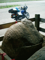 |
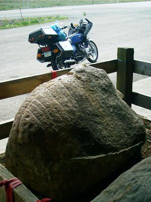
Sleeping Buffalo Rock
The Sleeping Buffalo Rock resides in its corral under a shed
at
the junction of US 2 and MT 243. Its shape is suggestive of a
buffalo with its legs tucked up resting its chin on the ground.
Carvings highlight the outline of ribs and backbone and probably are
prehistoric.
|
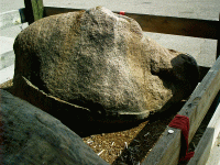 |
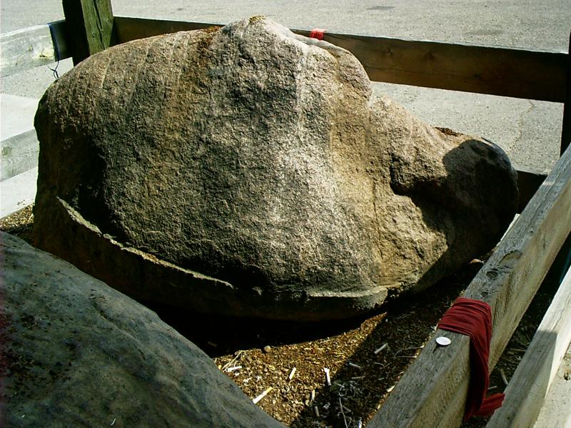
You should approach the rock
with respect. It will tell you what it wants. It appreciates coins
(Canadian currency is OK.) and is especially fond of tobacco --
judging from the unsmoked cigarettes that people have left for
it.
|


 owpunchers,
miners, and soldiers are tolerably virile
persons as a rule. When they went to town in the frontier days
seeking surcease from vocational cares and solace in the cup that
cheers, it was just as well for the urbanites to either brace
themselves or take to cover. The citizens of any town willing and
able to be host city for a combination of the above diamonds in the
rough had to be quick on the draw and used to inhaling powder
smoke.
owpunchers,
miners, and soldiers are tolerably virile
persons as a rule. When they went to town in the frontier days
seeking surcease from vocational cares and solace in the cup that
cheers, it was just as well for the urbanites to either brace
themselves or take to cover. The citizens of any town willing and
able to be host city for a combination of the above diamonds in the
rough had to be quick on the draw and used to inhaling powder
smoke.