|
|
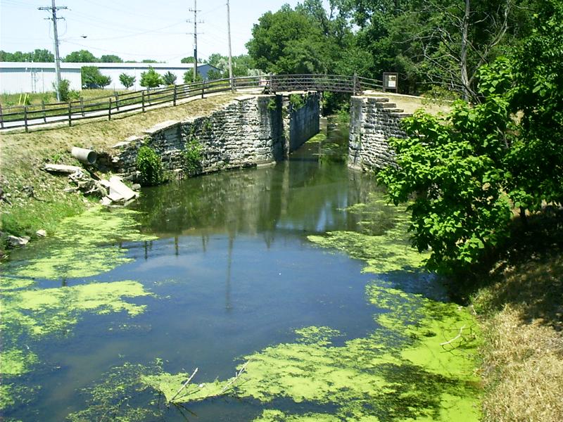
Lock One, Lockport, ILIn Chicago, IL, Old US Route 66 once started from the shore of Lake Michigan. The original right of way is no longer visible because development laid down in decades since has buried nearly all of it; nevertheless, yet older infrastructure may still be seen ~ however fragmentary. Here are the remains of Lock Number One on the Illinois and Michigan Canal between Chicago and Peru, IL, at Lockport, IL. |
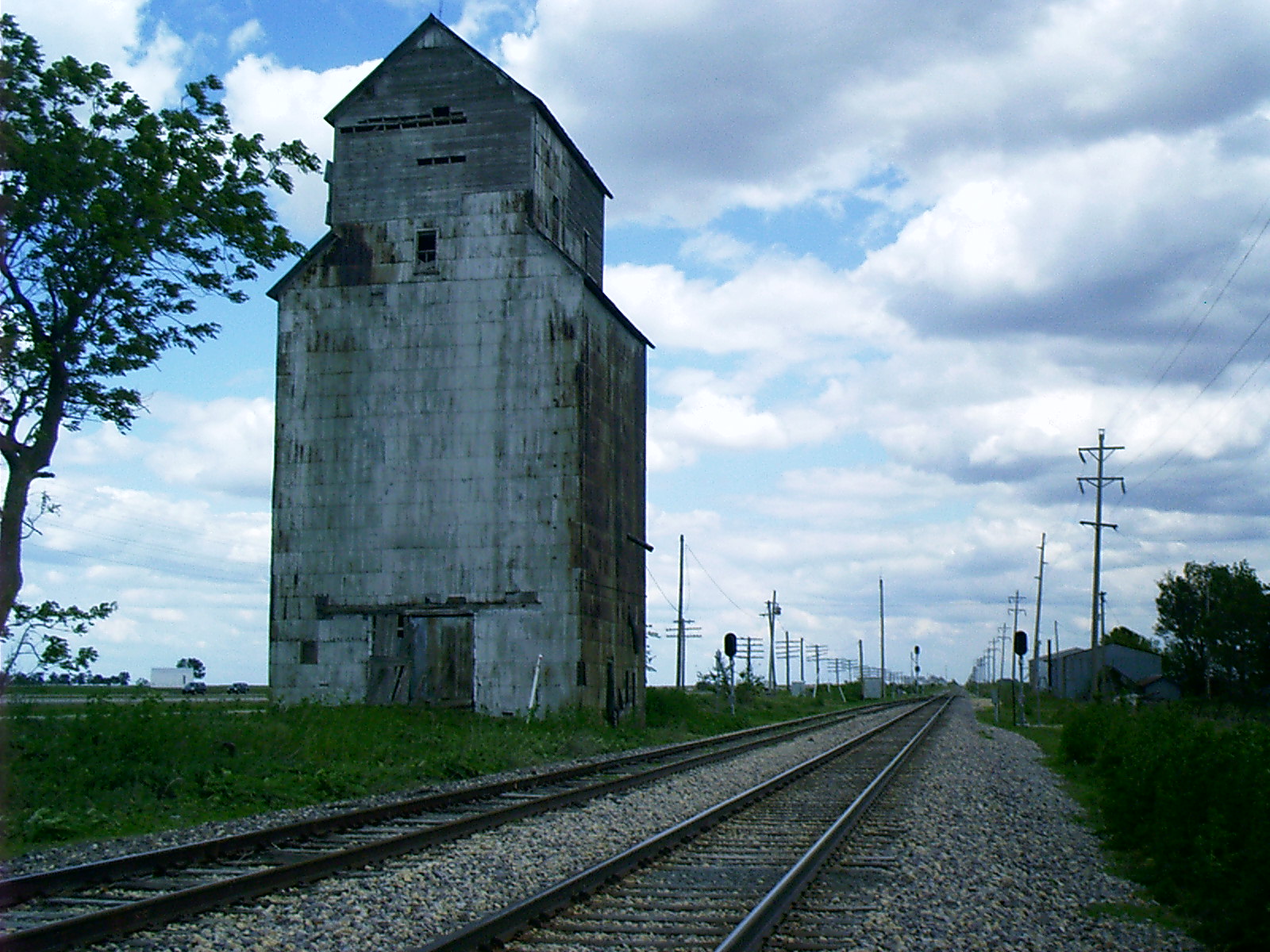 |
Ballard Siding, McLean County, ILThe canal turned Chicago from a little pioneer settlement on yet another inland lake into a world port on a major seaway, but society's fascination with water transportation was soon eclipsed by its infatuation with steam. Because the town was developing at this time, Chicago became the principal rail hub of the westward-hurtling nation.Throughout the Midwest, surface roads were improved to transport produce and passengers to and from the railroads. Grain brought in by the wagon load from the farm was consolidated for shipment by the carload to flour mills. Manufactured merchandise from the East and from overseas found its way into every household via the rails. Locating the old alignments of Route 66 in Illinois is easy; just follow the railroad. SR 4, the Pontiac Trail, which was a precursor of Route 66, was laid out along the right of way of the Chicago and Alton Railroad. Today, where the concrete pavement veers off into the prairie to bypass some small town or other, just turn onto the side street nearest the rails. It is sure to take you straight through the downtown business district. |
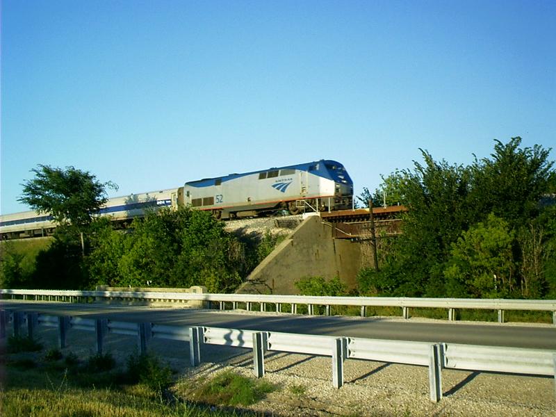 |
Amtrak, Cayuga, IL
trip-2003-04-18-thompson.shtml.] |
 |
Pre-66 Ribbon Pavement, Miami, OK
|
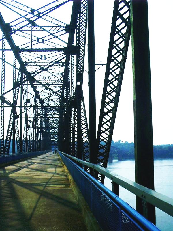 |
Chain of Rocks Bridge
MissouriContext.htm.]
2003/06/16/daily16.html.] |
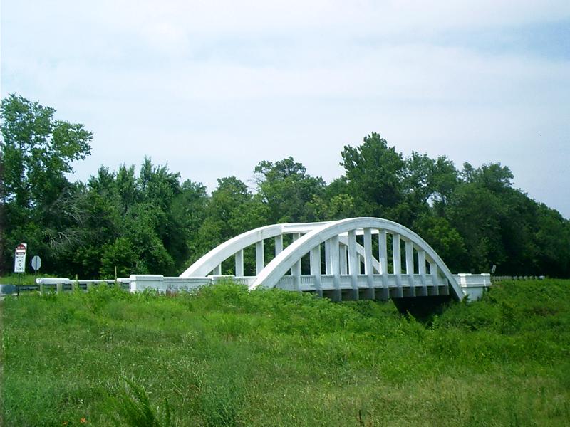 |
Rainbow Bridge, Riverton, KS
|
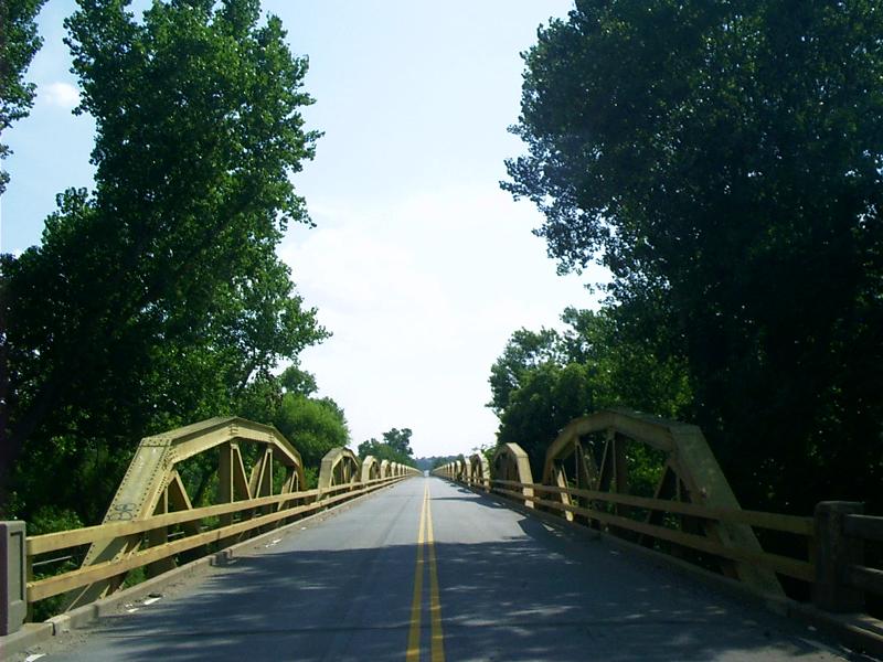 |
Pony Bridge, El Reno, OK
Count the trusses the next time you pass over. See whether or not there are more. Only those who've actually driven it are entitled to dispute the official count. Heavy semi traffic is still running along this stretch, though. Watch out you don't become too preoccupied, looking for the water. Here, the Canadian River is merely a braided stream in a wide bottomland. |
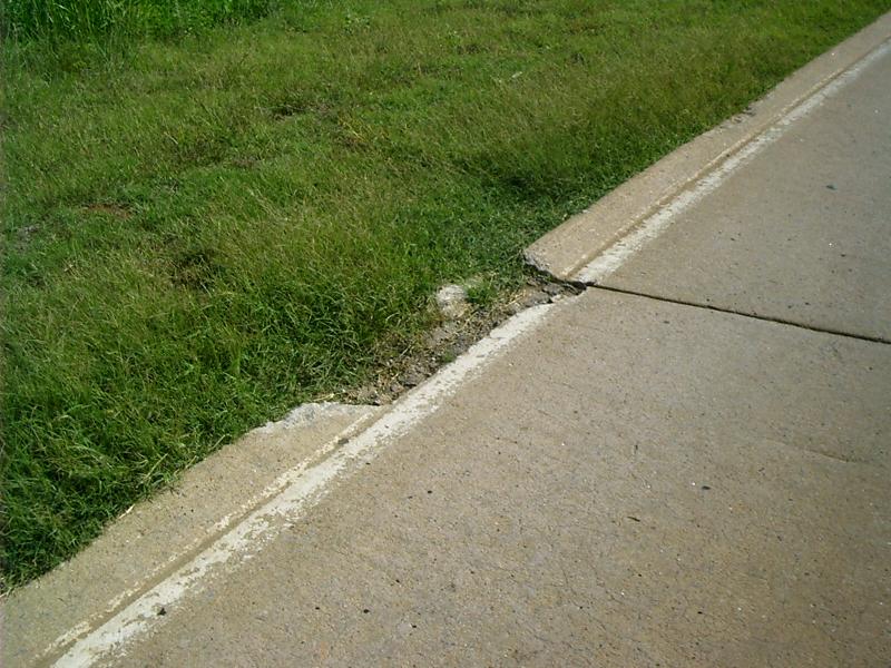 |
Curb, Pony Bridge, El Reno, OKCurbs between pavement and shoulder are rarely used anymore because they are an edge trap that tends to deflect vehicles running up on them causing a rollover. The style pictured is slightly inclined to the pavement. Engineers quit specifying it long ago in favor of curbs that were more abrupt. In the days before power steering, an inattentive driver could lose control by running up on a curb like this because it would yank the steering wheel to the right. |
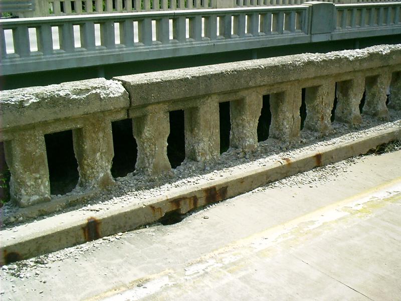 |
New Bridge ~ Old Bridge ~ Old US Route 66 ~ North of Chenoa, ILThe little towns had been bypassed in Illinois, and Route 66 had been widened to four lanes before I-55 was commissioned. After the Interstate was opened, the northbound lanes were signed for two-way traffic, and the southbound pair of lanes was abandoned; nevertheless, old crossings of low prestige remain dead-end stubs, and folks have lots of parking space to spare whose private drives abut on the abandoned side. |
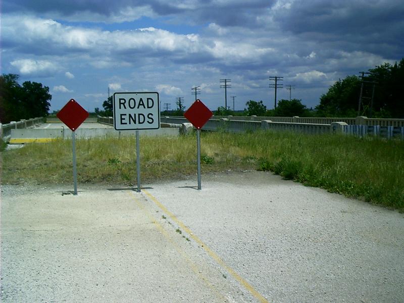 |
Road Ends ~ Old US Route 66 ~ North of Chenoa, ILPiles of rubble prevent drivers from venturing onto the derelict pavement at crossings that still exist. Jersey barriers block bridge access. |